Nigerian Utility KEDCO Maps 10 Million Meters
Nigeria faces tremendous challenges with respect to electricity access. A high population and low access rate mean that the country is second only to India in the total number of its citizens without a grid connection. Moreover, since efforts to expand the grid have not kept pace with population growth, the actual rate of access has declined in recent decades.
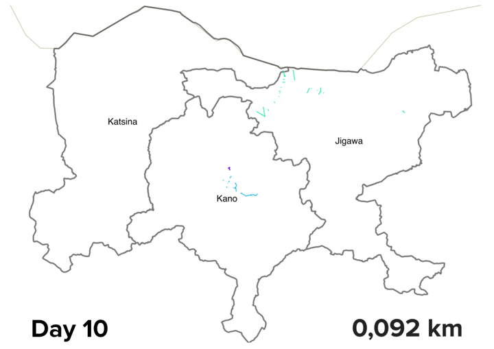
With funding from the World Bank, Columbia University’s Sustainable Engineering Lab (SEL) is working in close partnership with a recently privatized Nigerian electricity distribution utility, KEDCO, to help plan expanded electricity access throughout its service area. KEDCO covers the three Northern Nigerian states of Kano, Jigawa, and Katsina, home to approximately 23 million people, the majority of which currently lack a grid connection at home.
The first step of this collaboration has been to help the utility take stock of the assets and geographic extent of its system, beginning with the mapping of nearly 10 million meters of medium voltage power lines and related equipment. As a foundation for more detailed and accurate planning, KEDCO, and SEL’s energy planning team worked together to create the first detailed, geospatially referenced map of the electricity infrastructure inherited from the former national utility. The mapping effort once again leveraged the power of Open Street Maps (OSM) as an open-source, cloud-based, and decentralized mapping tool.

Left: KEDCO engineers validating, labeling and correcting map data for MV grid infrastructure using OpenStreetMaps editor. Right: A KEDCO engineer in training to map MV line infrastructure using a smartphone.
The on-the-ground mapping effort began with training sessions held in Abuja, in late 2014. The SEL team used Android devices loaded with software developed by the OSM community and lightly customized by SEL for mapping electricity infrastructure. KEDCO then returned to its offices in Kano, Jigawa, and Katsina to undertake the vast majority of the work: a mapping effort which engaged engineers, planners, and software specialist staff across each of the utility’s twelve business units.
After about four months, the result is a highly detailed database of KEDCOs power distribution network, including more than 95% of the system’s grid lines and several thousand pieces of strategic equipment including transformers, substations and generation sites. KEDCO recognizes the value of this map, as it allows an updated and accurate measure of the system’s line length. It also provides a starting point for a data-driven approach to other important KEDCO concerns, such as load flow analyses and establishing a customer database.
Some aspects of KEDCO’s management and implementation that contributed to the effort’s success have included:
- KEDCO took firm ownership of the program early, and at a high level: Support from top management was consistent throughout and articulated clearly to all levels of staff engaged in the effort. Mapping was not outsourced, as is often the case, ensuring that KEDCO absorbed new technical capacity while retaining control of the pace of work and quality of the resulting map data.
- KEDCO management multiplied the workforce and pushed the mapping effort: KEDCO’s planning department recognized early the need to “multiply the workforce” for this mapping, and quickly ensured that those trained in Abuja passed on their new skills to others in each business unit, increasing the number of trained mappers and data editors. Then, KEDCO management supervised progress, while driving data collection teams with frequent reminders and supporting the efforts of field teams by phone and in person. There was an element of competition among business units, as the planning department released weekly rankings of teams’ performance.
- Cloud-based mapping supported supervision and sustained technical support: Newly gathered map data was uploaded to and edited within a cloud-based platform that could be viewed in KEDCO field offices, Kano City headquarters, and by SEL staff in New York. This allowed multiple users to review, integrate, correct, and validate map data in a collaborative fashion as it was collected. This avoided the common pitfalls of sharing and editing the sometimes unwieldy shapefiles, while facilitating remote work between KEDCO headquarters and field offices, as well as with the SEL team. Overall, this greatly accelerated the identification and resolution of technical problems and validation of data.
The KEDCO / SEL collaboration doesn’t end there. In May, KEDCO will use this newly created system map as a key input to model cost-effective expansion of grid and off-grid electricity throughout their jurisdiction. In the future, KEDCO plans to continue to validate, expand, and maintain this powerline dataset for its growing network to support future planning and maintenance. Also in May, KEDCO experts will join the SEL staff as part of the training team in a national training workshop that aims to enable other distribution companies throughout Nigeria to use this same approach to map their service areas.
As this first phase of the collaboration concludes and the next begins, the SEL team wishes to thank and congratulate KEDCO for its initiative and diligence in implementing this new approach. The results speak for themselves as evidence that KEDCO is now at the forefront of geo-spatial, data-driven electricity planning poised to become the national standard.
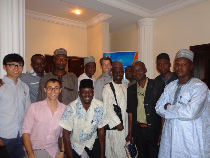
The SEL members with the KEDCO team: Jonathan Carbajal, Shaky Sherpa (not shown), Naichen Zhao, Chris Natali (not shown), and Edwin Adkins.